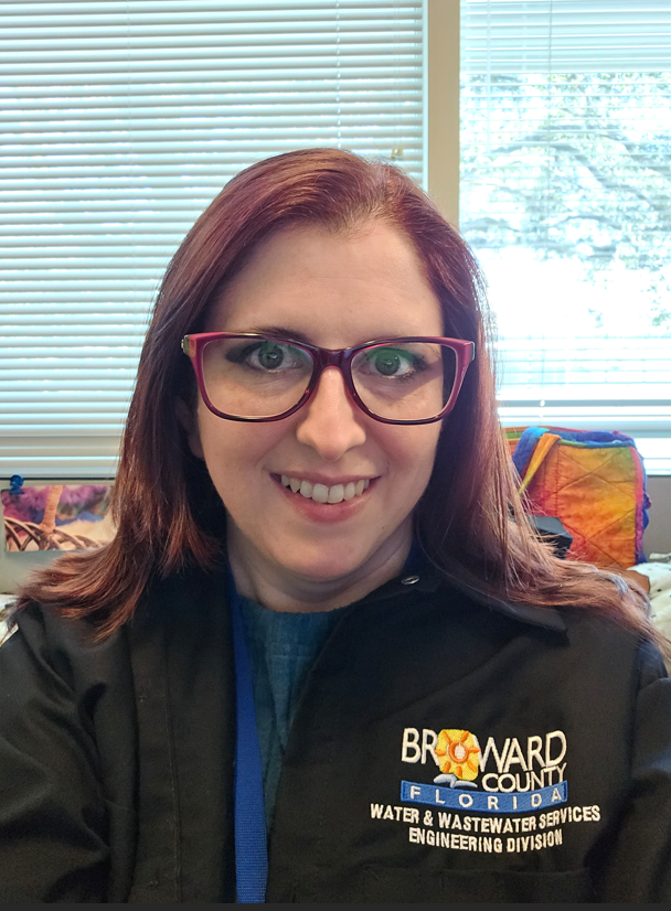
 Getting to know Jeanie Besecker: Q & A
For my undergrad degree, it was because it was close to my home (I initially went to FSU for a semester but needed to be closer to home due to medical issues) and they had an anthropology degree program. For my master’s in anthropology, one of my professors convinced me stay at FAU. While completing my master’s degree in anthropology, which focused on the public’s perception of health-related climate change risks, I met Dr. Colin Polsky at a talk that CES was hosting and spoke to him of my research and possible interest in the Geosciences PhD program.
I received my bachelor’s and master’s degree in Anthropology from FAU. Later on, I received a second master’s degree in Geographic Information Science (with a focus in Environmental GIS) from Kent State University after working for CES.
I got interested in anthropology while I was in high school and watched a lot of the Science Channel, Discovery Channel, and National Geographic channels. I mostly focused on biological anthropology and then switched to medical anthropology towards the end. I did take several courses in the Geosciences Department at FAU while I was an undergrad and a professor (Dr. Petuch) said I should dual major in both anthropology and geosciences. I still kick myself for not doing that since it would have been a better fit for me and I ended up doing GIS in the end. I got interested in GIS from working in CES and Dr. Polsky always asking if I made the maps myself that I presented and I would always respond with, “No, I wish!” I decided to give GIS a try since I loved it and there were greater job opportunities in that field.
I helped work on the Coastal SEES project, specifically, to help conduct focus groups at the three Long Term Ecological Research (LTER) sites on the East Coast of the U.S. to gather local perceptions and valuations of ecosystem services provided by salt marshes. I led the research and created the community profile for the Plum Island Ecosystems (PIE) LTER site located in northeastern Massachusetts, conducted literature reviews, and collaborated with other research assistants to create the focus group instrument along with transcribing the audio transcripts from the focus groups to prepare for analysis and helping perform the qualitative data analysis.
The title of my thesis was, “Public Perception of Health Risks Related to Climate Change in Broward County, Florida.” I created and conducted an online survey and in-person interviews for the study.
My favorite memory at CES was getting to go to two of the LTER sites in Massachusetts and Georgia. I had so much fun with the other grad research assistants (Vince Edwards and Alyssa Wood). I got to roam a muddy saltmarsh with rubber boots in Massachusetts and take in the gorgeous sites.
I’m currently a GIS Analyst for Broward County Water and Wastewater Services within the Engineering Division.
GIS is amazing and there are so many opportunities with GIS, specifically job opportunities. GIS is used in so many different fields. I got into my field of GIS through a GIS Internship with City of Boca Raton Utility Services. So, I would say to try out an internship and see how you like it. Although right now my field of GIS is in utilities (water/wastewater), I do hope to branch out one day back into my old research with climate change and vulnerability assessments.
Besides binge watching TV and hanging out with my group of friends, my coworkers got me into biking. We have biked the Shark Valley loop out in the Everglades National Park. I do enjoy outdoor activities.